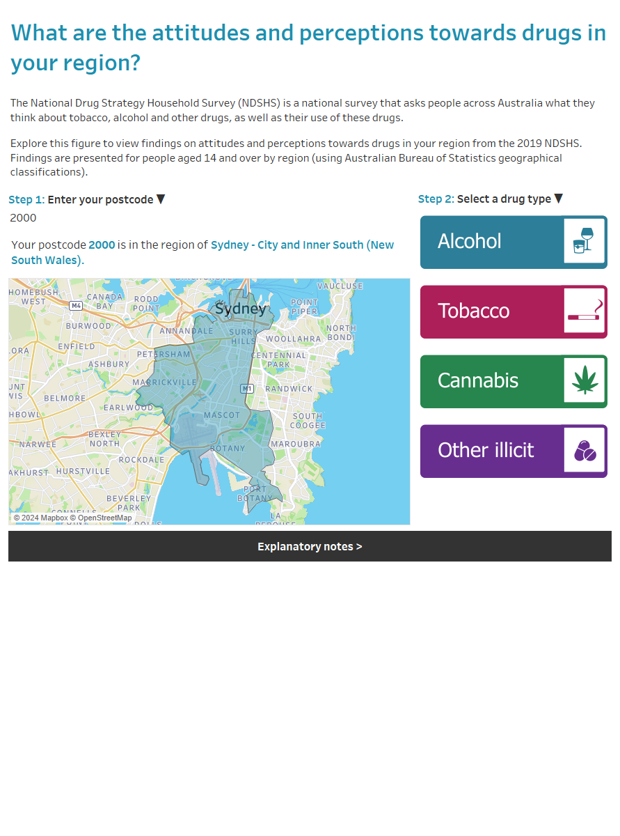
Australia’s attitudes and perceptions towards drugs by region, 2019
Citation
AIHW
Australian Institute of Health and Welfare (2022) Australia’s attitudes and perceptions towards drugs by region, 2019, AIHW, Australian Government, accessed 27 July 2024.
APA
Australian Institute of Health and Welfare. (2022). Australia’s attitudes and perceptions towards drugs by region, 2019. Retrieved from https://www.aihw.gov.au/reports/illicit-use-of-drugs/australias-attitudes-and-perceptions-towards-drugs
MLA
Australia’s attitudes and perceptions towards drugs by region, 2019. Australian Institute of Health and Welfare, 15 July 2022, https://www.aihw.gov.au/reports/illicit-use-of-drugs/australias-attitudes-and-perceptions-towards-drugs
Vancouver
Australian Institute of Health and Welfare. Australia’s attitudes and perceptions towards drugs by region, 2019 [Internet]. Canberra: Australian Institute of Health and Welfare, 2022 [cited 2024 Jul. 27]. Available from: https://www.aihw.gov.au/reports/illicit-use-of-drugs/australias-attitudes-and-perceptions-towards-drugs
Harvard
Australian Institute of Health and Welfare (AIHW) 2022, Australia’s attitudes and perceptions towards drugs by region, 2019, viewed 27 July 2024, https://www.aihw.gov.au/reports/illicit-use-of-drugs/australias-attitudes-and-perceptions-towards-drugs
PDF | 969Kb


